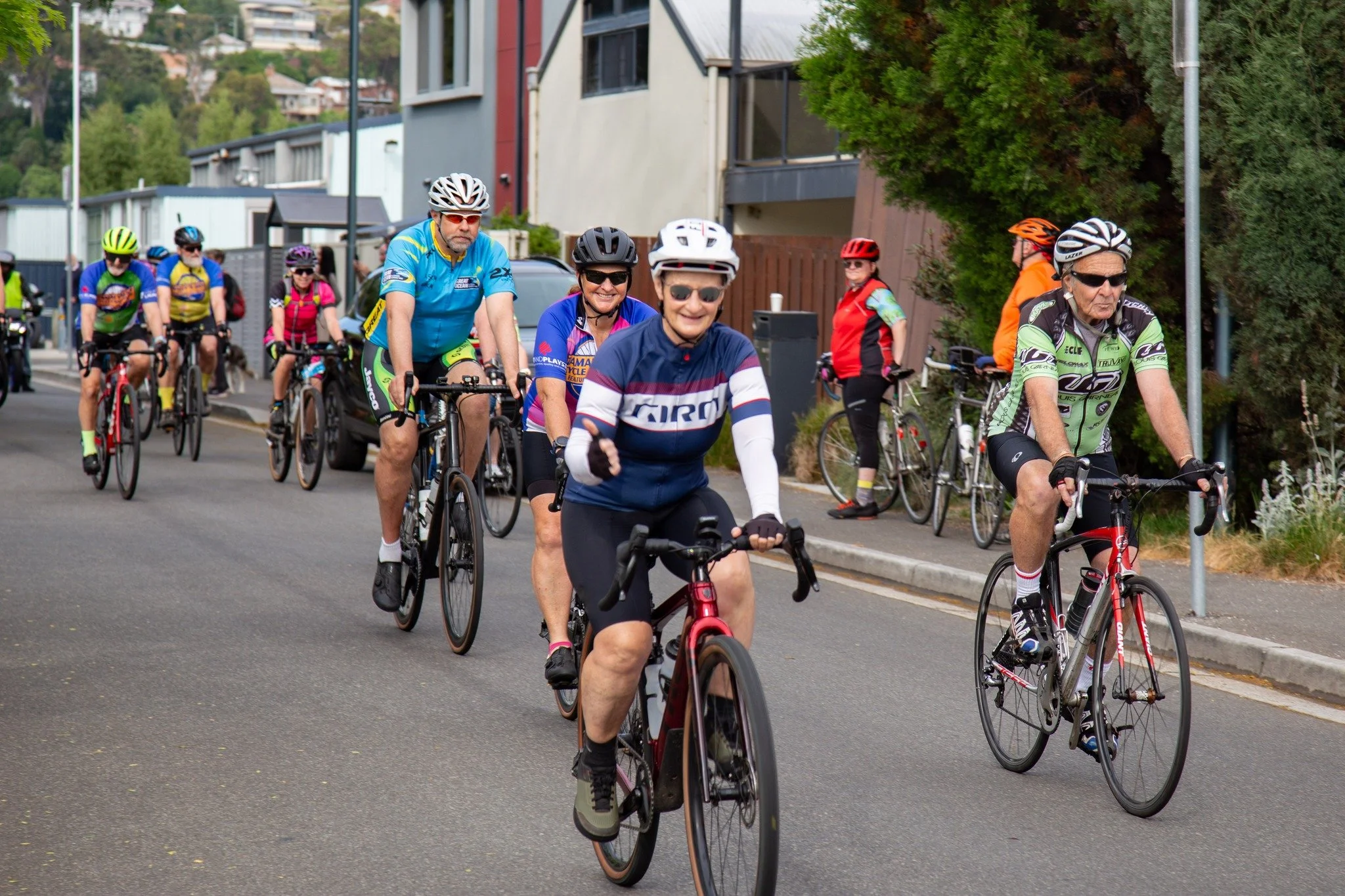
JBS 70km Ride

Logo with the letters 'JBS' in blue surrounded by colorful curved lines.

The 70km Challenge

The 70km Ride is designed for experienced cyclists looking for a greater challenge paired with Tasmania’s stunning scenery. With longer climbs, rural stretches, and river views, it’s the perfect option for riders ready to push their endurance while enjoying the best of the Tamar Valley.

9am

70km Ride

Entry fee $50 - Under 18 $20

E-bikes are welcome to participate in this ride

Register
A group of cyclists riding on a street, wearing colorful sportswear and helmets. Some are smiling, and there are motorcycles parked in the background with trees and residential buildings along the street.

Route

Starting from the Launceston Rugby Union Club (Home Point Parade), riders head north-west via Wellington Street and the Paterson Street Bridge, passing the Cataract Gorge and Tamar River before continuing along the West Tamar Highway (A7) to Legana.

From there, the course climbs toward Bridgenorth (C732), then turns onto Long Plains Road (C730) and continues toward Glengarry via the Frankford Highway (B71). After tackling “Glengarry Hill,” the route winds through Winkleigh (C718) before joining Winkleigh Road (C717) toward Exeter.

At Exeter, riders rejoin the West Tamar Highway and continue south, turning onto Rosevears Drive (C733). This riverside stretch offers spectacular views of the Tamar River, with a scheduled refreshment and toilet stop at Rosevears Recreation Ground.

The final leg includes the climb at Muddy Creek Hill, before returning via Riverside, crossing the Paterson Street Bridge again, and finishing back at the Launceston Rugby Union Club—where well-earned rest and refreshments await.

Food & Drink Refreshment Station:

  • Rosevears Recreation Ground (refreshments and toilets provided by event organisers)

Map of the Sally's Ride Tamar Valley Cycle Challenge route in Tasmania, starting and ending at Launceston Rugby Union Club. The route covers 70 kilometers and includes towns such as Legana, Rosevears, and Glengarry, with notable points like Swan Point and Bridgenorth. The map indicates locations of toilets, drink stations, and food stops.

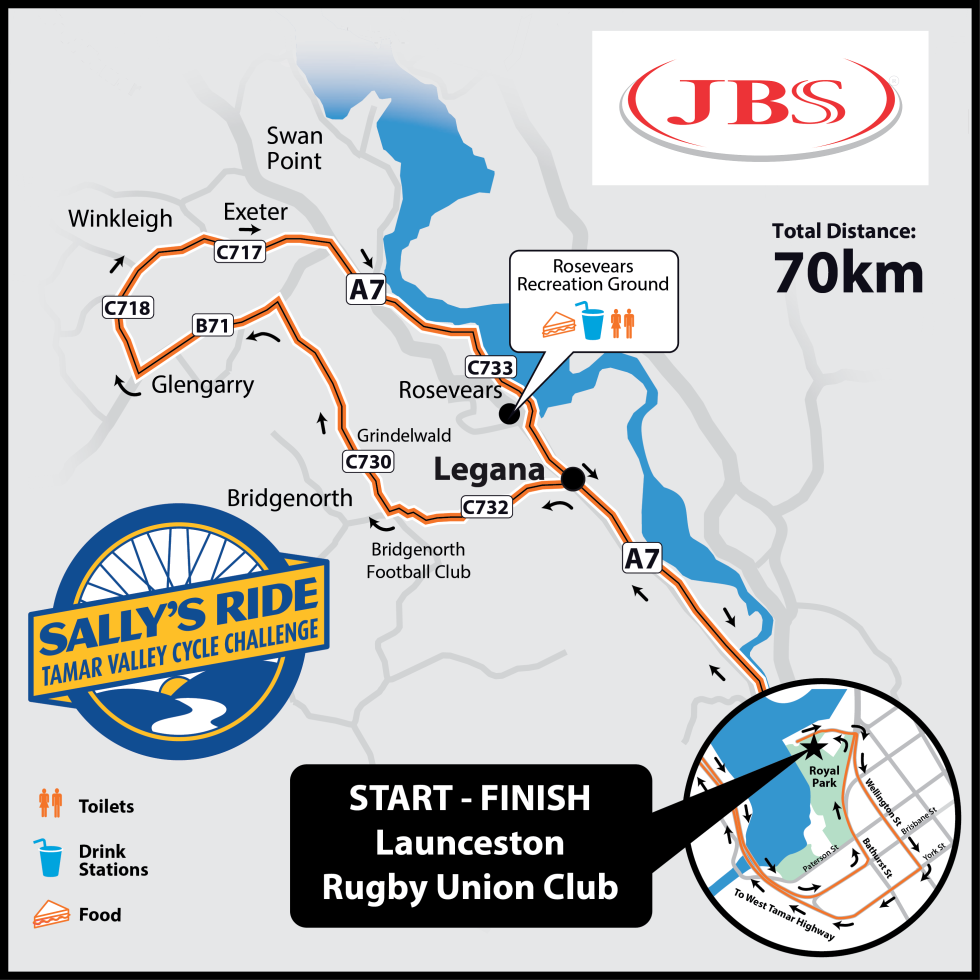
Map produced by Foot & Playsted.